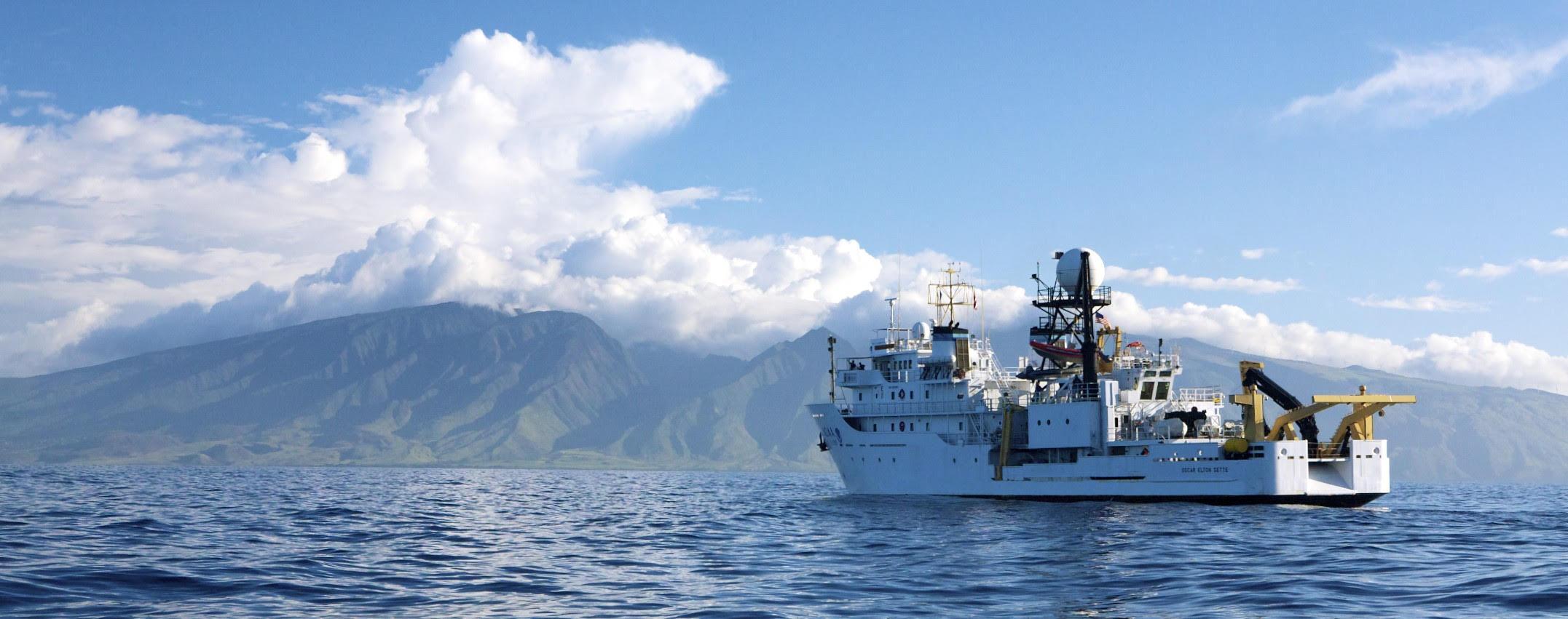
Current Field Work
We are preparing for 2026 surveys in American Samoa and the Pacific Islands Heritage Marine National Monument. Samples of our research mission flyer from 2025 are linked below.
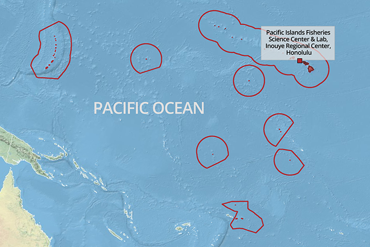
Survey Area
We conduct surveys in U.S. Pacific Islands regions: Hawaiian Archipelago, Mariana Archipelago, American Samoa, and Pacific Islands Heritage Marine National Monument. Our longest running program, Pacific NCRMP, was previously called the Pacific Reef Assessment and Monitoring Program (RAMP). Starting in 2000, Pacific RAMP conducted surveys every 2 years to assess reef health. In 2011, NOAA’s Coral Reef Conservation Program (CRCP) expanded the effort into NCRMP, aiming to track coral reef conditions across all U.S. waters using standardized methods. By 2012, the Pacific NCRMP shifted to surveying each region every 3 years.

Outreach
Links to story maps, photo galleries, and blogs from past missions as well as more information on the Pacific Islands Fisheries Science Center (PIFSC) and our Ecosystem Sciences Division (ESD). Our underwater fish photos are shared on the PIFSC Pacific NCRMP iNaturalist account.
Contact us
This website is maintained by Lori Luers of the ARP Data Services Team on a PIFSC github repository using minimal-mistakes jekyll theme. For issues or questions, please email the team at nmfs.pic.credinfo@noaa.gov.